LiDAR Surface Intelligence
Digital Surface Model
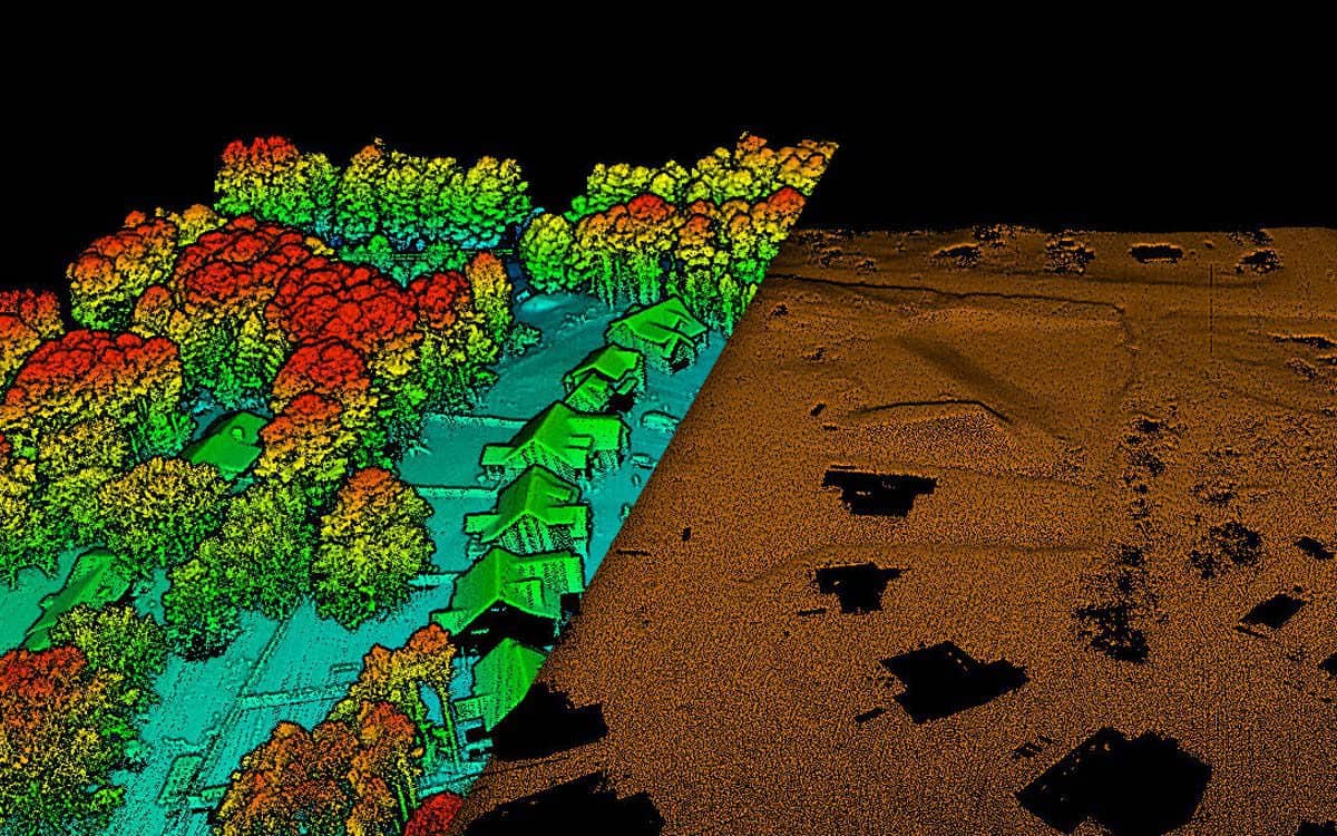
DSM captures the visible surface of the real world.
A Digital Surface Model (DSM) captures the visible surface of the real world, including buildings, trees, vegetation, roads, and other above-ground features. It provides detailed elevation information by representing both natural landscapes and man-made structures. DSM data is commonly used for urban planning, mapping, construction projects, environmental analysis, and 3D visualization to support accurate decision-making and surface analysis.
Urban Planning
Reliable surface data for planning decisions.
Reliable surface data plays a crucial role in accurate planning and decision-making across various industries. It provides detailed information about terrain, structures, vegetation, and land features, helping professionals analyze site conditions with confidence. Using advanced surveying and mapping technologies, reliable surface data supports urban planning, infrastructure development, agriculture, environmental studies, and construction projects by improving accuracy, reducing risks, and enhancing project efficiency.
City Modeling
Surface elevation and feature data for urban visualization and 3D city model inputs.
RF Planning
Building, vegetation, and terrain surfaces that support line-of-sight and coverage planning.
Landscape Analysis
DSM products for studying surface form, canopy structure, and built environment patterns.
Classification
Point-cloud classification that separates key surface features for mapping and engineering use.